
![]()
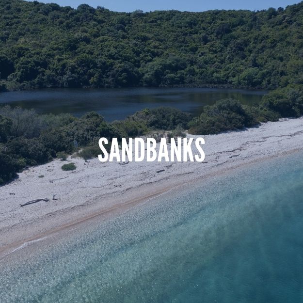
Erimitis is a peninsula on the northeast coast of the Greek island of Corfu, which hosts a wide range of biodiversity on land, freshwater and sea while also preserving a unique natural scape complexion. Since 2012, the local association of “Erimitis plous” struggles to preserve this natural capital from development plans with the campaign Save Erimitis.
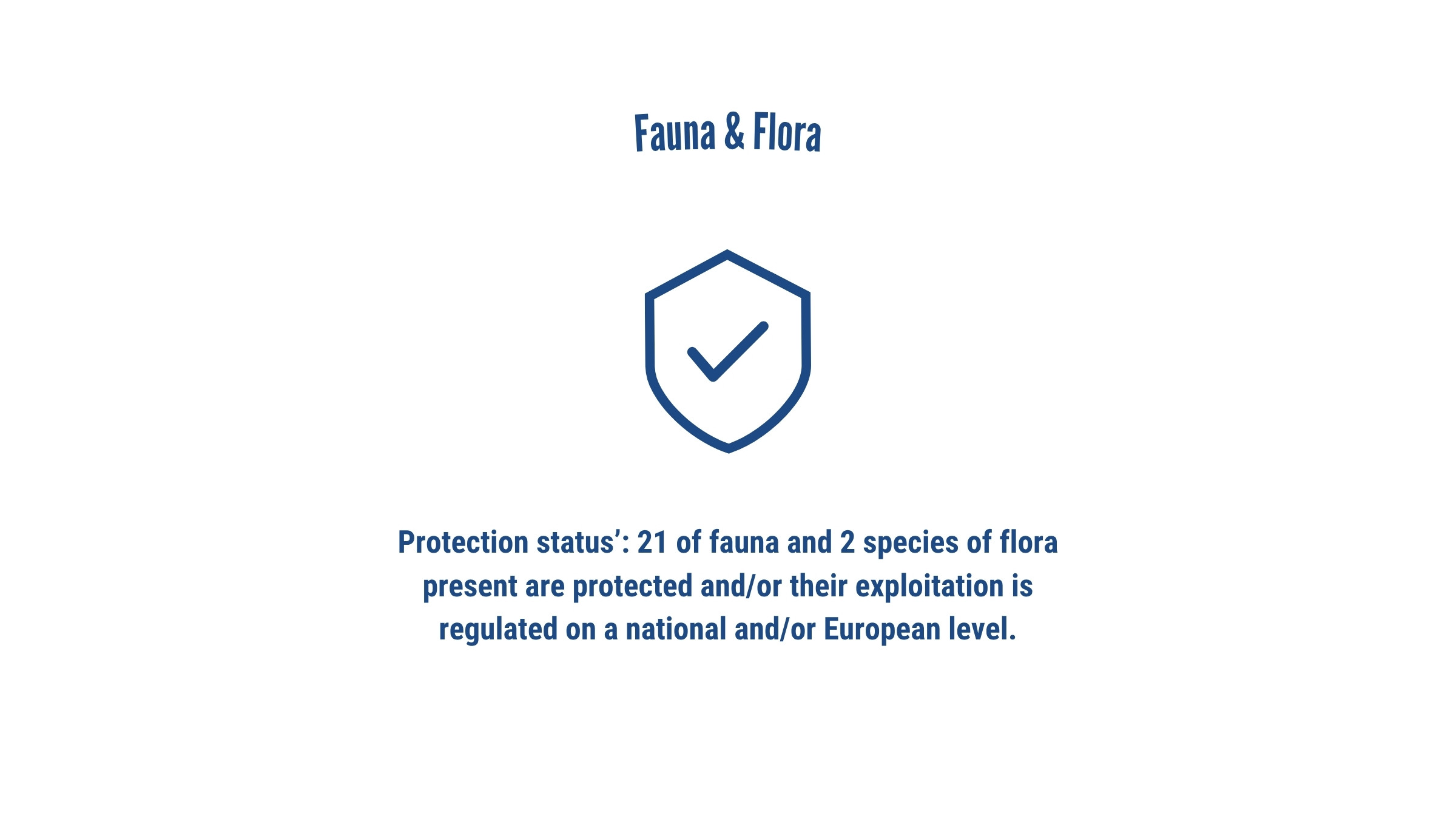
In this context, and to support this long initiative, iSea has being working in the area since 2021 focusing on showcasing the importance of the marine area of Erimitis. Actions involved identification of critical habitas, creating a marine species checklist identifying rare and protected ones and identifying the areas threats while running a number of awareness campaigns with the results.

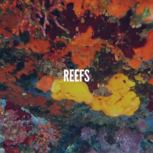
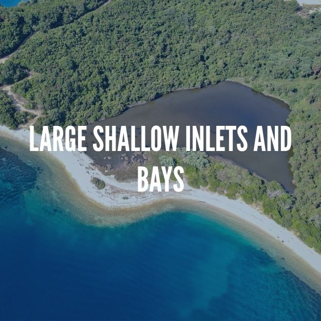
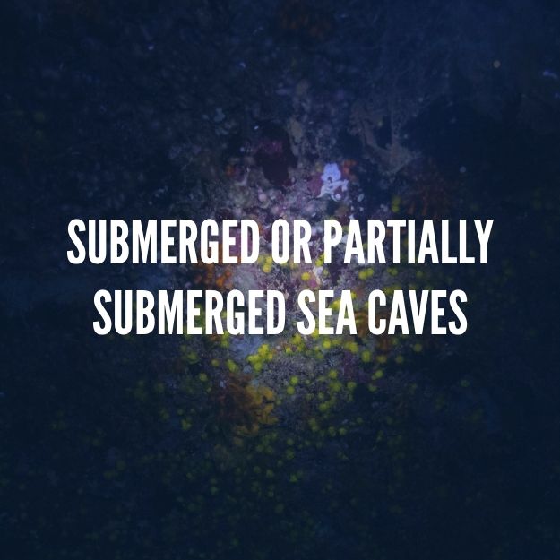
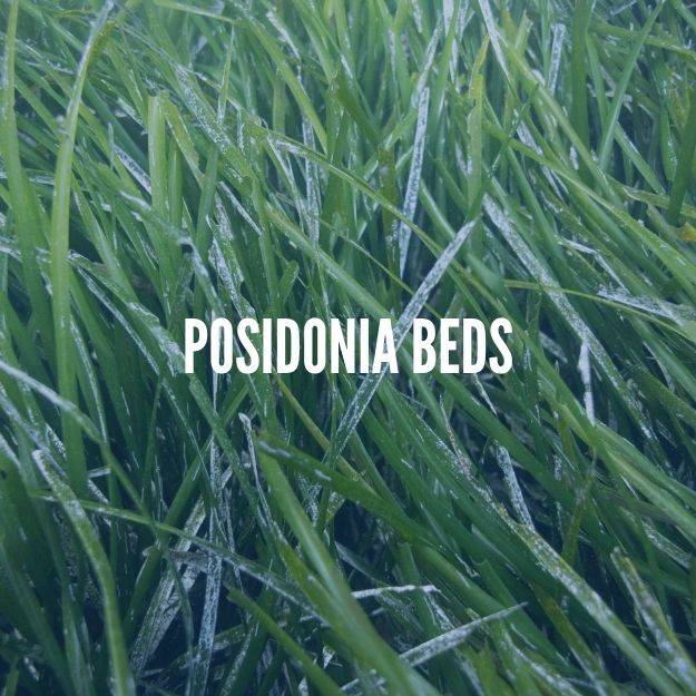
Habitats identified
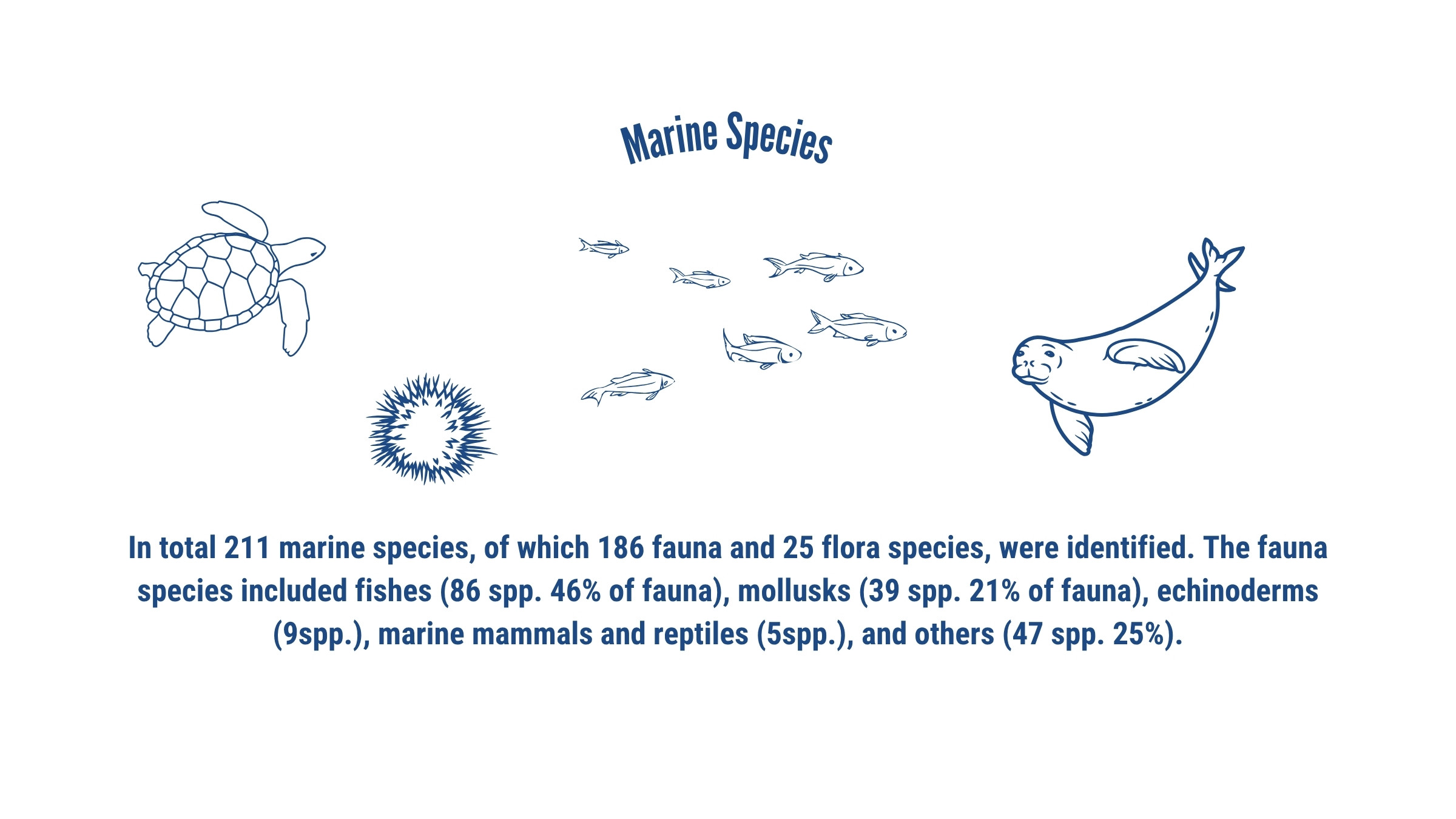
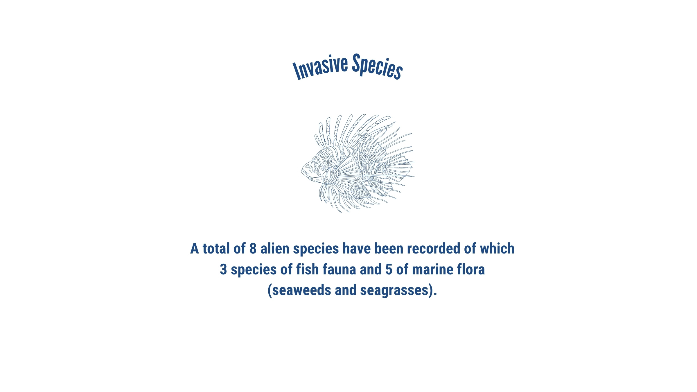
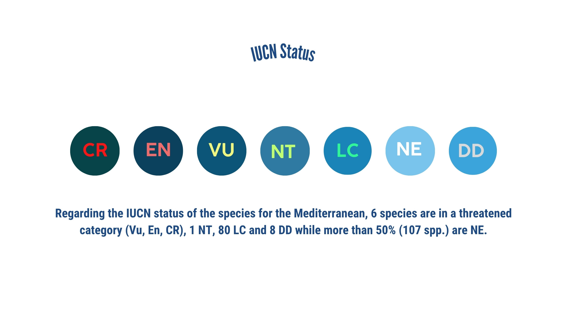
Species

The Posidonia meadows of Erimitis
Regarding the extent of the Posidonia oceanica meadows, this was estimated as 0.62km2, with an accuracy of 93.56%. The meadows have a continuous distribution along the coast of Erimitis peninsula, starting from less than 1m depth up to 42m in a specific site.

Posidonia oceanica health status
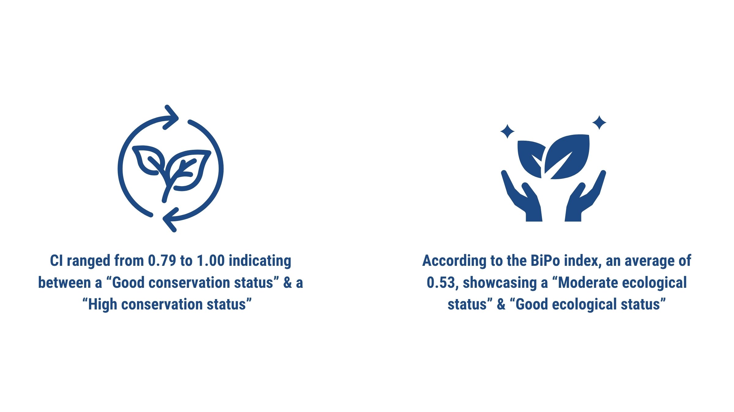
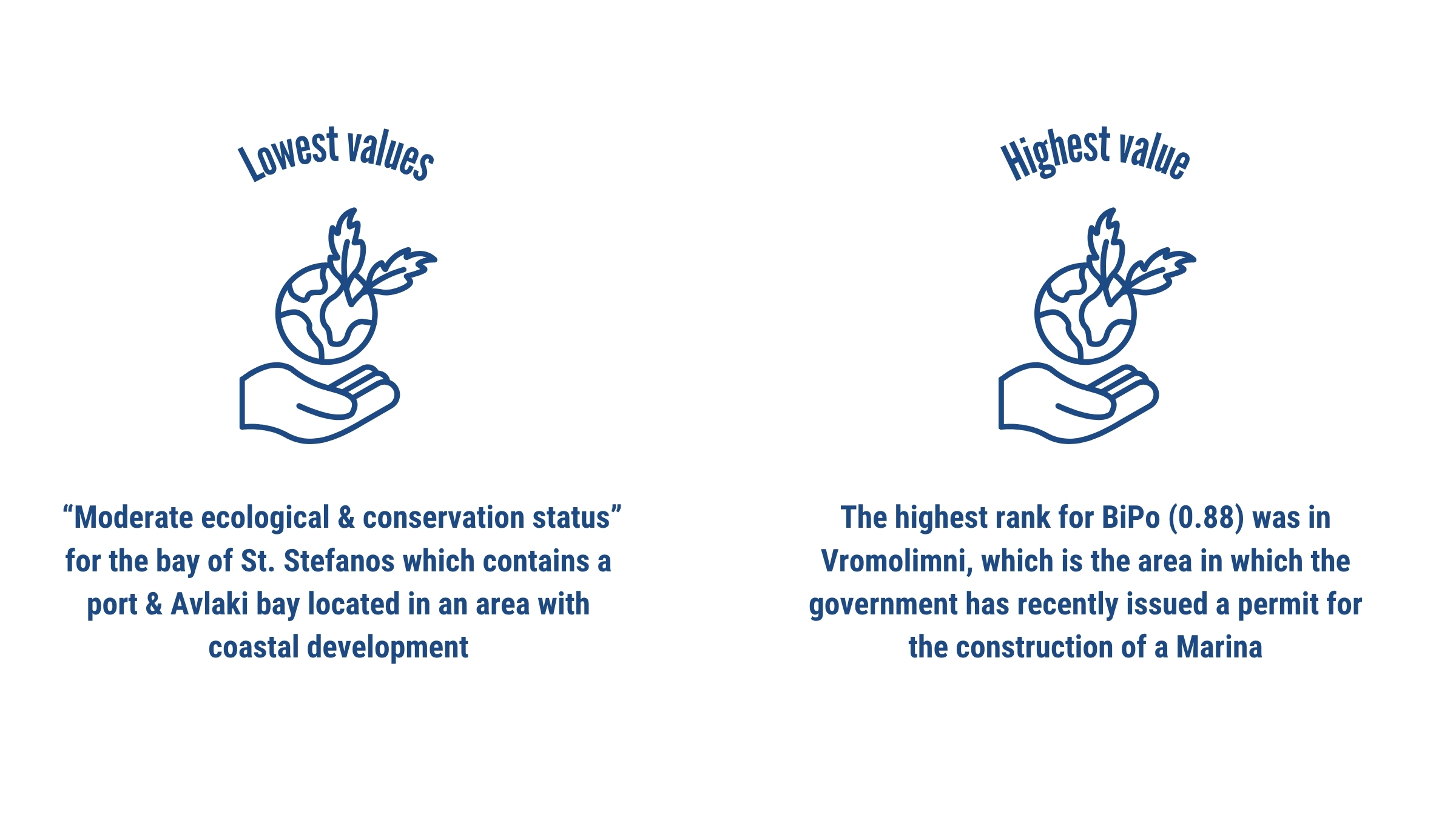
The assessment for the health status of the meadows was obtained using two indexes the Conservation Index(CI) and the Biotic Index based on Posidonia oceanica (BiPo). The CI values ranged from 0.79 to 1.00 which is equivalent to “Good Conservation Status” and “High Conservation Status” respectively. While the BiPo Index was from 0.41 to 0.88 (“Moderate Ecological Status” and “High Ecological Status”, accordingly).
Health Indices

Blue carbon
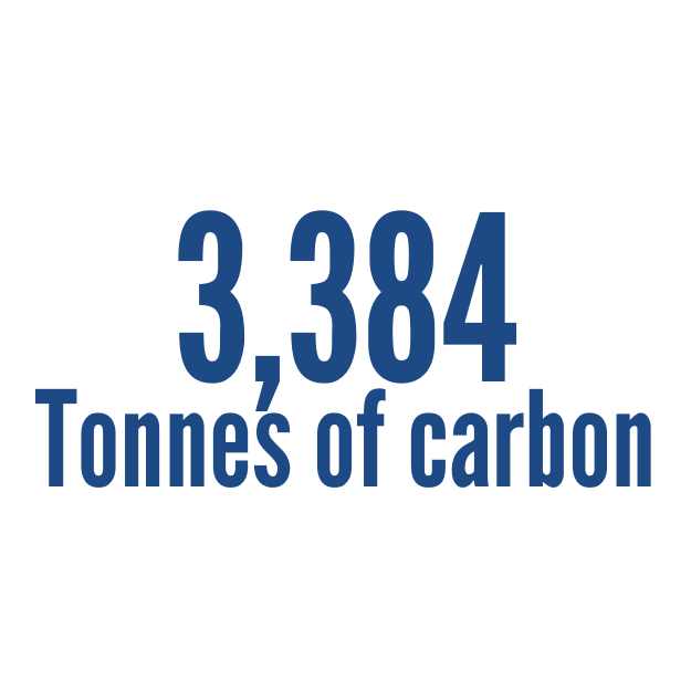
Posidonia meadows, throughout the physiological processes of seagrasses, capture carbon from the atmosphere and store it in the sediment within their root systems in the form of blue carbon, acting as long-term carbon storage systems.
For the estimation of blue carbon, a total of 32 core samples were extracted by divers from within the study area, while for the estimation, an elemental analysis was performed to the samples using the Walkley-Black method. The total amount of blue carbon stored in the substrate of Erimitis meadows was estimated at 3,384 tC with an estimated variability of 2,933 tons.
Help us understand the value of the marine and coastal system of the Erimitis peninsula, with an emphasis on assessing the ecosystem services provided by the Posidonia meadows, by completing the questionnaire developed in collaboration with the Aristotle University of Thessaloniki.
Please fill out the following questionnaire with the aim of informing policy based on the true value of the natural landscape, as well as contributing to the development of knowledge for the ongoing efforts to conserve and manage Erimitis.
Assessing anchoring pressure on Posidonia meadows
During the summer period of 2024 drone surveys were undertaken during the busiest hours of the day, four times per month to evaluate the most threatened areas of Posidonia due to anchoring pressure. The highest proportion of boat records were located in Arias bay (21.6%) followed by Vrachli (18.3%) and Akoli (15.8%). The results indicate that over 65% of the recorded boats were anchored on Posidonia meadows, while from the total boats recorded, over 60% were small rental boats.

Next steps for the protection of Erimitis
After 4 years of research the results allow for a better understanding of the areas characteristics, threats and priority actions that future efforts should focus on. This year, the project aims to evolve by moving past the research focus phase, on to a management-focused effort that will be based on science and integration of bottom-up approaches with the participation of key local stakeholders in the heart of the development of an adaptive management plan for Erimitis.
Within this framework, the environmental organization iSea, in collaboration with the local association Erimitis Plous, has drafted a proposed Management Plan for the Locally Managed Marine Area (LMMA) of the Erimitis Peninsula. This plan reflects the proposals of the local association and takes into account the results and findings of long-term scientific research on the terrestrial and marine habitats of the area.
For its completion and implementation, the Management Plan is currently under public consultation. During this process, we invite the local community to submit their comments—highlighting the elements that should be preserved, any objections they may have, and of course their own proposals.
You may submit your comments either individually or on behalf of a local association or organization, providing your general feedback at the end of the consultation, as well as more specific comments article by article.
Find the educational material here:
You can find the annual reports below:
Find more about the area's biodiversity and the threats the area faces here:


